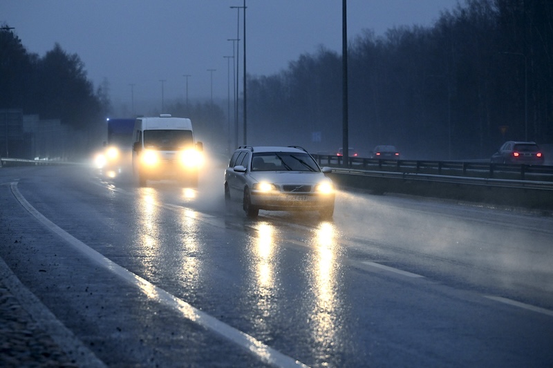
Finland is set for a wet and unsettled start to December, with meteorologists warning that several rain and snow systems will sweep across the country throughout the week, bringing difficult driving conditions and sharply contrasting temperatures between the south and the north.
Forecasters from Foreca and the Finnish Meteorological Institute reported that multiple weather fronts will move rapidly across the country, a pattern expected to persist at least until Independence Day on Saturday.
From Monday, rain will spread from the west across most regions. South of Oulu, the precipitation will fall primarily as rain, while central Finland and Lapland will see a shifting mix of sleet and snow depending on local temperatures. Southern and central regions are expected to remain between 1°C and 6°C, while Lapland will plunge far below freezing, with lows approaching –25°C in the coldest areas.
The Finnish Meteorological Institute issued warnings for treacherous road conditions, especially in central Finland, North Savo, Kainuu and parts of Lapland. Snowfall in northern areas will be substantial, with Kainuu and Northern Ostrobothnia expected to receive 15–25 centimeters over three days. Much of the region had only recently lost snow cover during a warm spell, with up to 12 centimeters melting in some locations.
By Tuesday, the first front will move east, offering a brief period of drier weather before a second system arrives from the west in the evening. Another widespread precipitation zone will pass through on Wednesday, leaving most of the remaining showers concentrated in Lapland.
Toward the end of the week, conditions will stabilize slightly but remain cloudy, damp and unsettled. From Thursday through Independence Day, the country will experience widespread overcast skies. Lapland will continue to see snowfall alongside sub-zero temperatures, while persistent rain and above-zero conditions will dominate the south.
Forecasters note that no significant snowfall is expected in southern and central Finland in the coming days. Earlier mild weather has already melted remaining snow, and new precipitation will likely arrive as rain. While night-time temperatures may dip below freezing in parts of the interior, daytime highs in the south and west are forecast to stay above zero throughout the week.
Meteorologists said the series of low-pressure systems is typical of early winter in Finland, though the fluctuating temperatures near the rain–snow boundary continue to make precise forecasting especially challenging.


